
Can you name all 23 countries of North America from their outlines?
Each round shows the outline of one of the 23 countries of North America, with north up. The United States is drawn as the lower 48 states; Alaska and Hawaii are left out. 11 of the 23 have no land border with another country on the site’s list: Antigua and Barbuda, the Bahamas, Barbados, Cuba, Dominica, Grenada, Jamaica, Saint Kitts and Nevis, Saint Lucia, Saint Vincent and the Grenadines and Trinidad and Tobago. One wrong answer ends the run, there is no timer, and naming all 23 completes it.
How to play
- A country’s outline fills the board. North is up, but every outline is resized to fit, so sizes are not comparable. Type the country’s name in the box below. Capital letters, accents and punctuation do not matter, and common alternative names are accepted.
- A correct answer is accepted by itself after a short pause and the next round begins. Pressing Enter submits whatever you typed.
- One wrong answer ends the run, so check before you press Enter. There is no timer.
- Press Finish to end a run early; your score is saved.
- The 23 outlines of North America come in shuffled order, each once. Your score counts up to 23 at the top of the board, and naming the last one completes the run. The answer review below the board lists every round.
- Your result is saved in this browser. Once enough people have played a game, the results also show how your score ranks, and you can copy or share an image of your result, or replay.
Tips for playing
Decide first whether the shape is a compact block, a long strip, a peninsula or a scatter of islands, then look for one distinctive corner. As drawn in the quiz, Antigua and Barbuda’s outline is the tallest for its width (3.4 times as tall as it is wide) and Cuba’s the widest (3.0 times as wide as it is tall).
All 23 countries of North America
Show all 23 answers
| Outline | Country | Land neighbours |
|---|---|---|
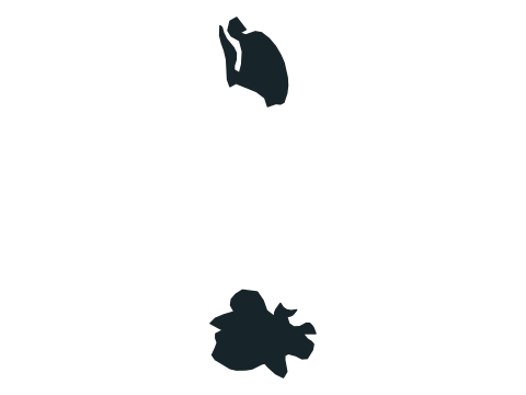 | Antigua and Barbuda | None |
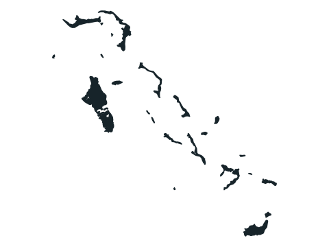 | Bahamas | None |
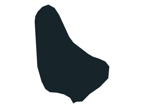 | Barbados | None |
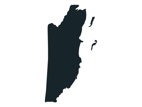 | Belize | Guatemala, Mexico |
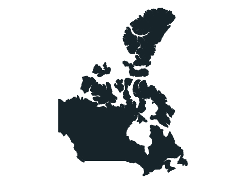 | Canada | United States |
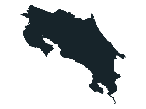 | Costa Rica | Nicaragua, Panama |
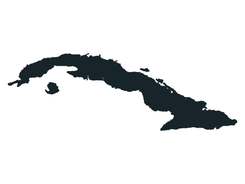 | Cuba | None |
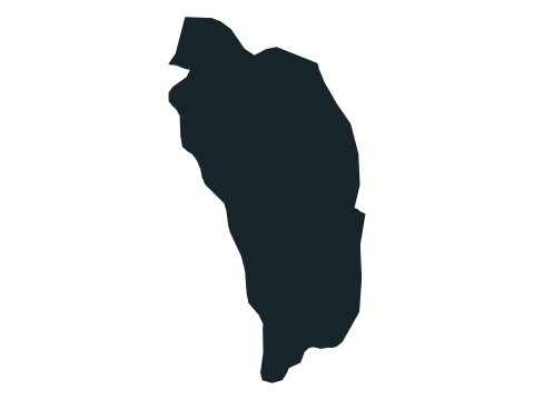 | Dominica | None |
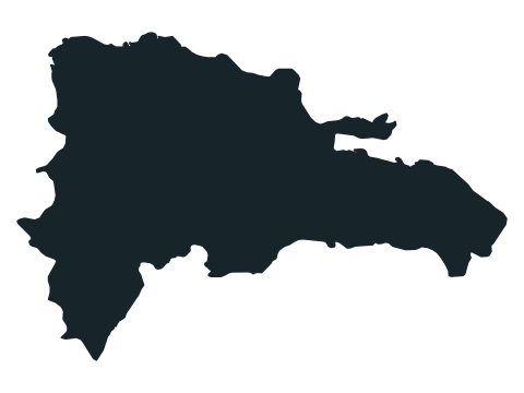 | Dominican Republic | Haiti |
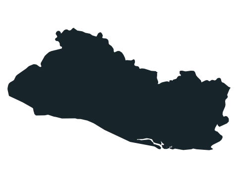 | El Salvador | Guatemala, Honduras |
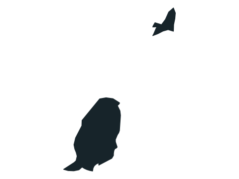 | Grenada | None |
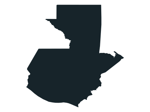 | Guatemala | Belize, El Salvador, Honduras, Mexico |
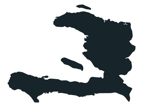 | Haiti | Dominican Republic |
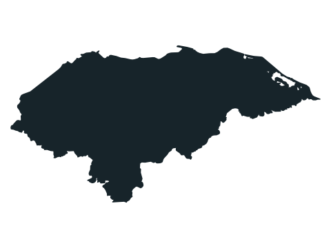 | Honduras | El Salvador, Guatemala, Nicaragua |
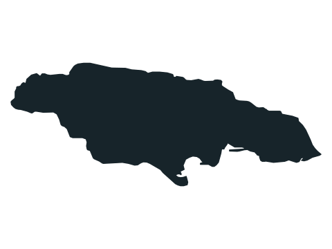 | Jamaica | None |
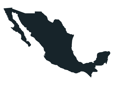 | Mexico | Belize, Guatemala, United States |
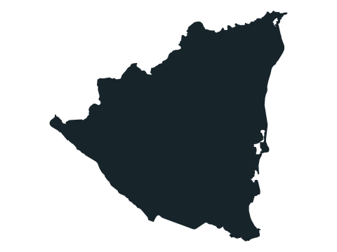 | Nicaragua | Costa Rica, Honduras |
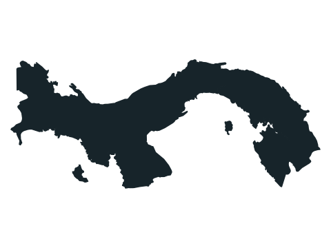 | Panama | Colombia, Costa Rica |
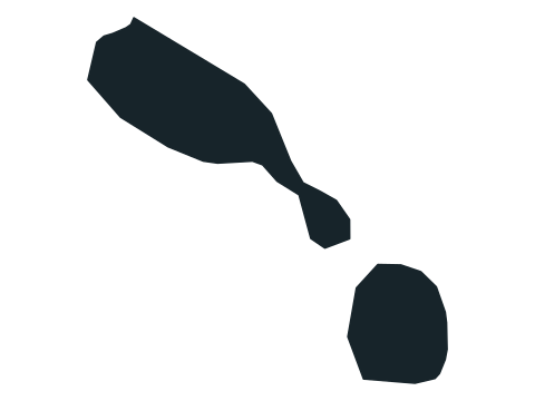 | Saint Kitts and Nevis | None |
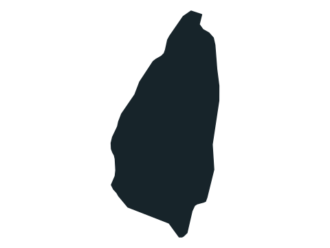 | Saint Lucia | None |
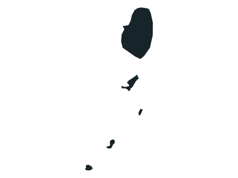 | Saint Vincent and the Grenadines | None |
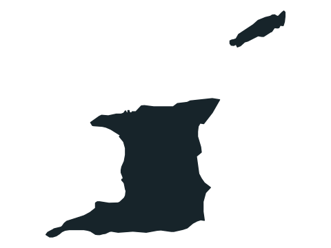 | Trinidad and Tobago | None |
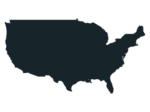 | United States | Canada, Mexico |
Land neighbours among the 197 countries of the site’s list, from the mledoze/countries border data (ODbL 1.0). Common alternative country names are accepted too.
Frequently asked questions
How many outlines are in the North America Country Shapes quiz?
23, one for each country of North America in the site’s 197-country list. Central America and the Caribbean are included; Greenland, Puerto Rico and other dependent territories are not separate answers.
Which countries of North America are islands or have no land border?
11 of the 23 have no land border with another country on the site’s list: Antigua and Barbuda, the Bahamas, Barbados, Cuba, Dominica, Grenada, Jamaica, Saint Kitts and Nevis, Saint Lucia, Saint Vincent and the Grenadines and Trinidad and Tobago. Their outlines are coastlines all round, which is a clue in itself.
What happens if I get one wrong?
The run ends and the correct country is shown. Your score is the number of outlines you named before the mistake, out of 23; name all 23 to complete the run.
Why are some islands missing?
Outlines show a country’s main land area and nearby islands; distant territories and very small islands may be left out. The United States is drawn as the lower 48 states; Alaska and Hawaii are left out.
Are the outlines drawn to scale?
No. Every outline is resized to fill the same frame, so Canada, the largest country of North America by total area (Statistics Canada), looks no bigger than Saint Kitts and Nevis, one of the smallest. North is always up, and the land-neighbours column of the answer list below helps place each shape.
North America outlines worth a second look
- The United States is drawn as the lower 48 states; Alaska and Hawaii are left out.
- Haiti and the Dominican Republic share the island of Hispaniola: Haiti is the western part, with two long peninsulas.
- Saint Kitts and Nevis is two islands, a long one and a round one.
- Trinidad and Tobago is a large, roughly square island with a small one to the northeast.
- Canada’s Arctic islands take up much of its outline.
- As drawn in the quiz, Antigua and Barbuda’s outline is the tallest for its width (3.4 times as tall as it is wide) and Cuba’s the widest (3.0 times as wide as it is tall).
Which countries count?
The quiz uses the 23 countries of North America from the site’s 197-country list, the same list as the Countries of North America map quiz. Central America and the Caribbean are included; Greenland, Puerto Rico and other dependent territories are not separate answers. Outlines come from Natural Earth’s public-domain map data; land borders come from the mledoze/countries dataset (Open Database License 1.0).
Sources
Source: Natural Earth / world-atlas · Natural Earth 4.1.0 via world-atlas 2.0.2
Public domain map geometry, simplified for display. Country outlines also use higher-precision Natural Earth overrides for small islands and microstates. The 197-answer list and continent groups are editorial choices, not a live geopolitical feed. No original collection date is recorded for these bundled map files.
Found an incorrect answer or a source that needs updating? Send a correction with the game name and a reference.