

Can you name every country from its outline?
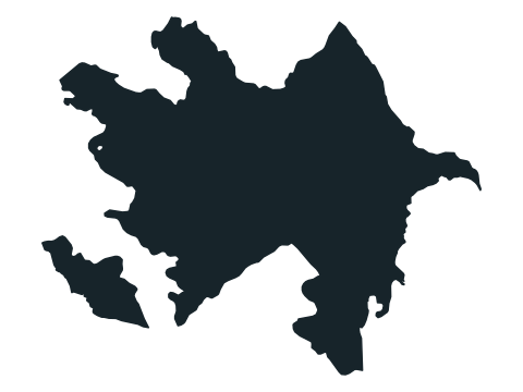
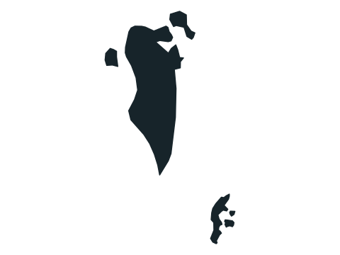
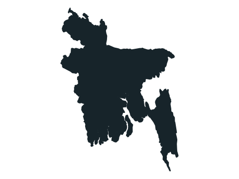
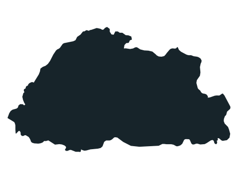
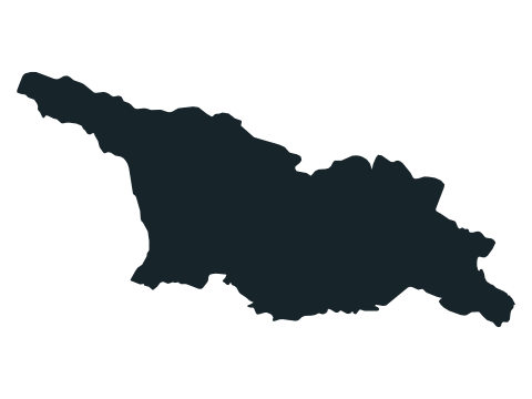
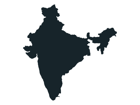
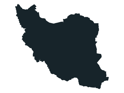
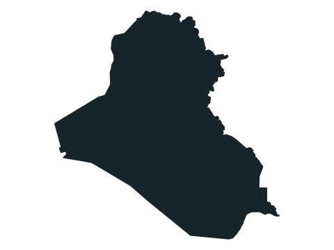
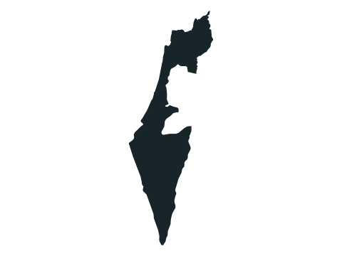
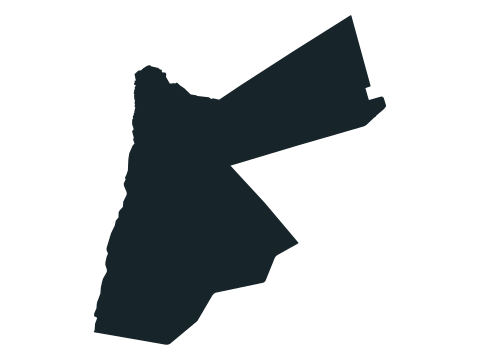
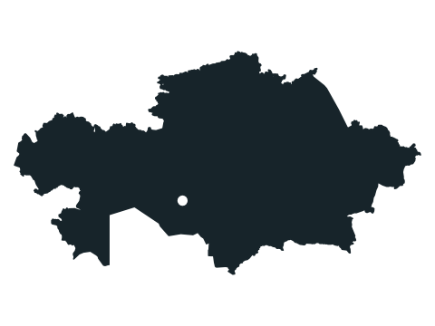
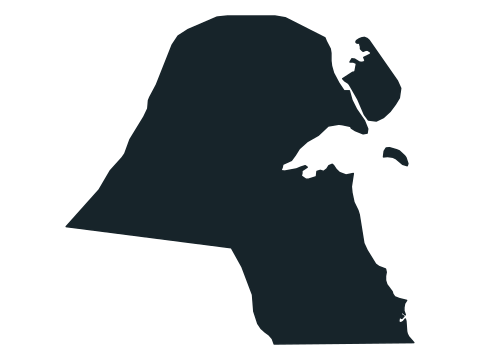
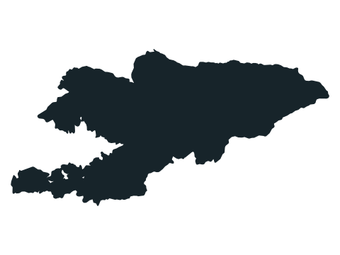
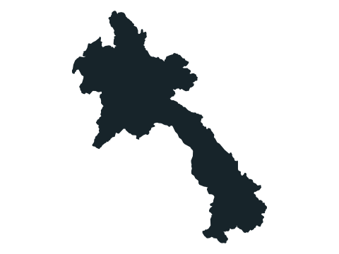
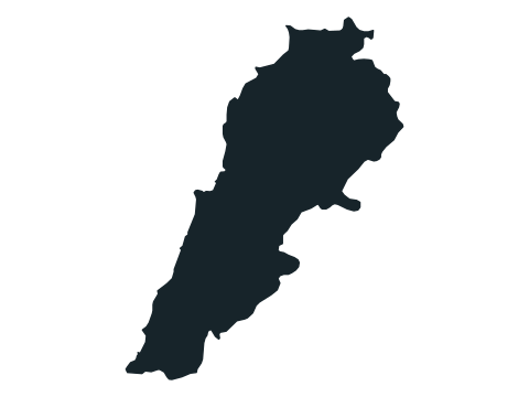
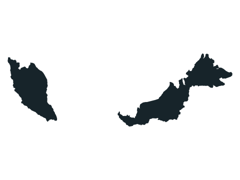
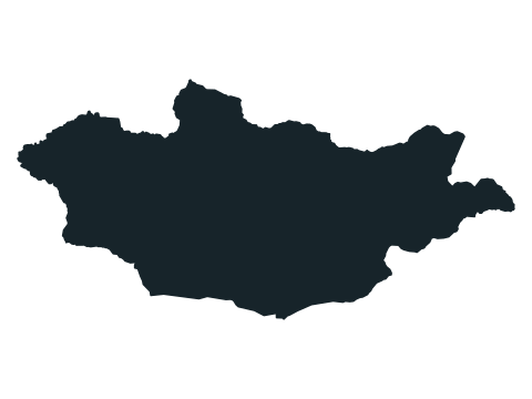
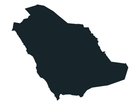
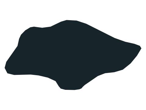
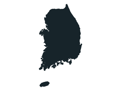
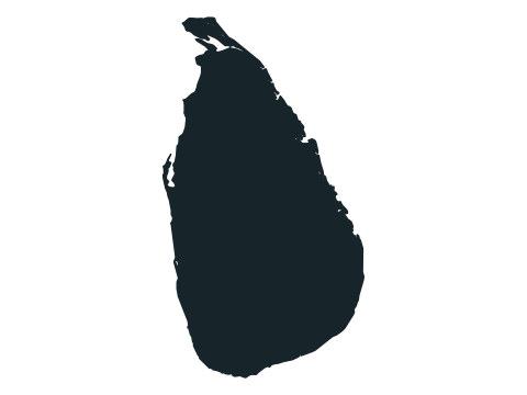
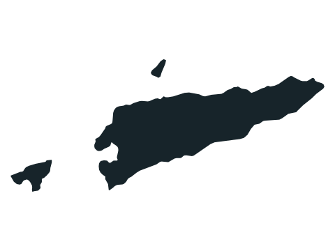
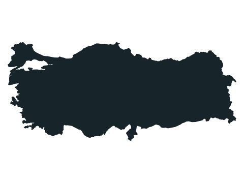
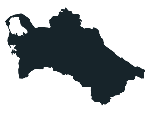
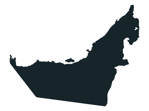
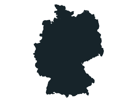
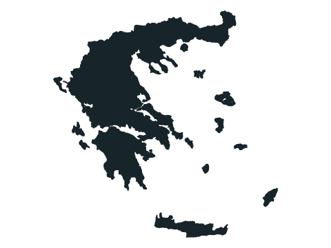
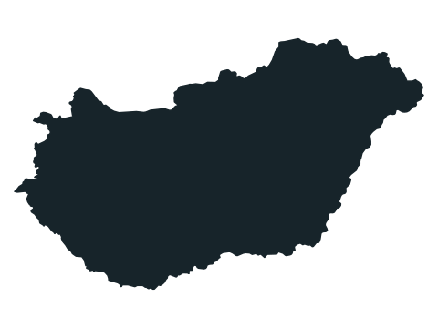
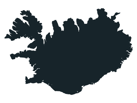
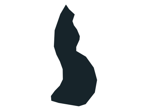
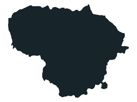
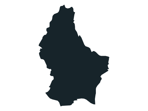
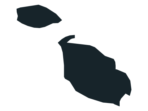
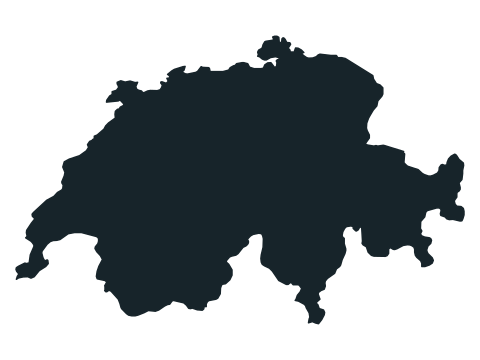
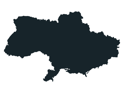
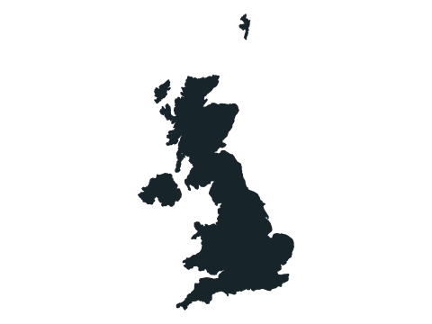
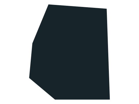
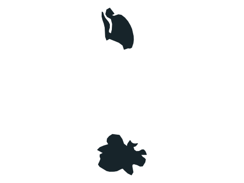
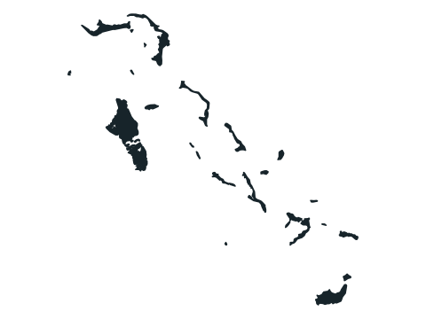
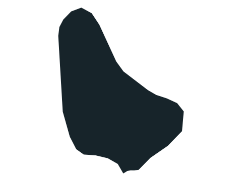
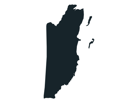
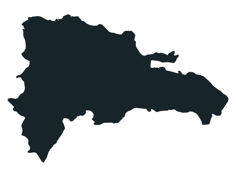
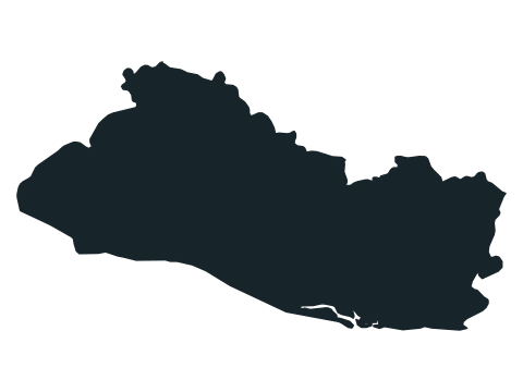
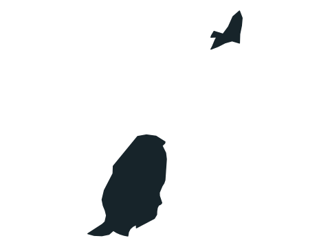
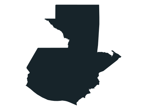
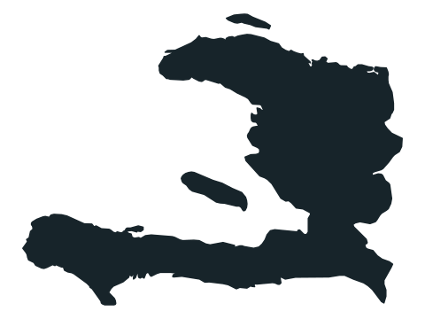
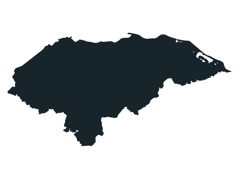
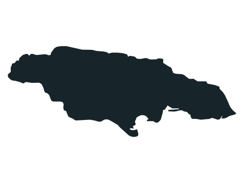
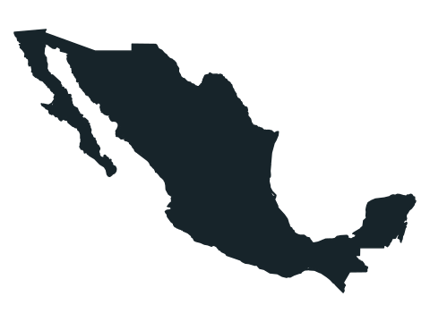
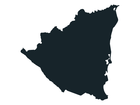
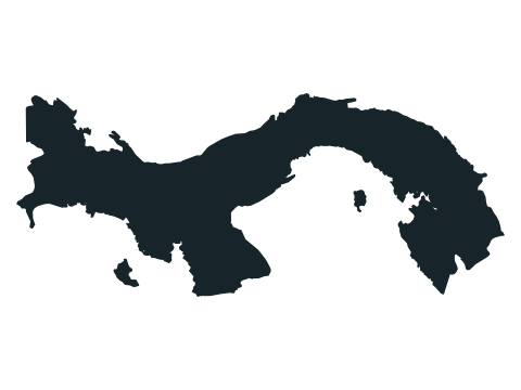
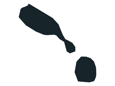
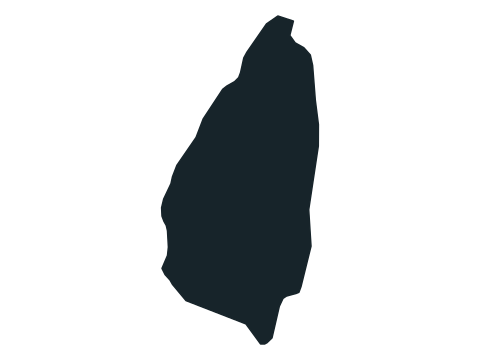
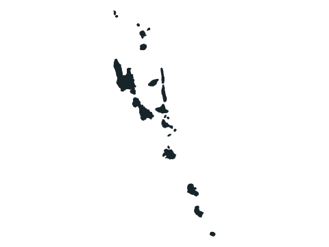
Name the country from its silhouette. Correct answers move straight to the next outline. Explore 197 countries in shuffled order and build a streak without a timer.
How to play
- A country’s outline fills the board. North is up, but every outline is resized to fit, so sizes are not comparable. Type the country’s name in the box below. Capital letters, accents and punctuation do not matter, and common alternative names are accepted.
- A correct answer is accepted by itself after a short pause and the next round begins. Pressing Enter submits whatever you typed.
- One wrong answer ends the run, so check before you press Enter. There is no timer.
- Press Finish to end a run early; your streak is saved.
- Your score is the number of outlines you name in one run. All 197 are shuffled, and none repeats until you have seen every one. The answer review below the board lists the run’s rounds.
- Your result is saved in this browser. Once enough people have played a game, the results also show how your score ranks, and you can copy or share an image of your result, or replay.
Tips for playing
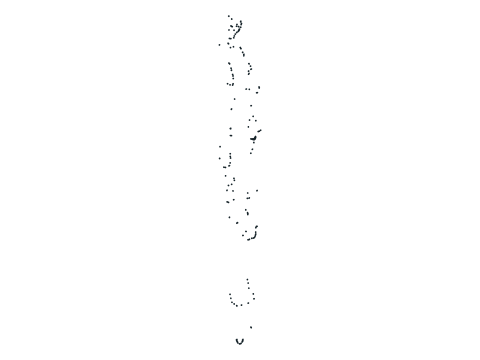
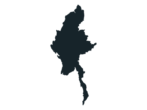
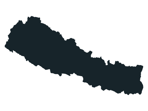
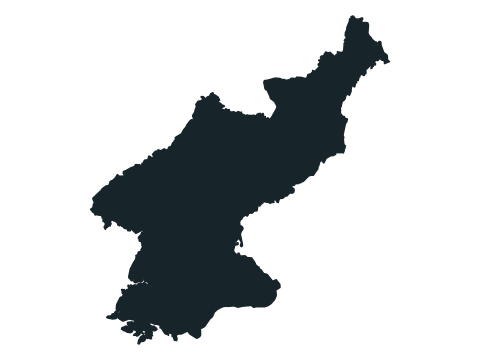
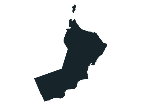
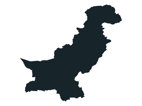
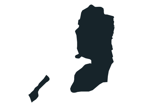
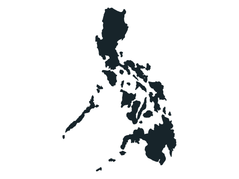
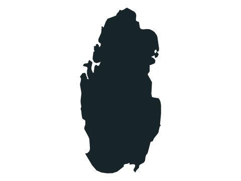
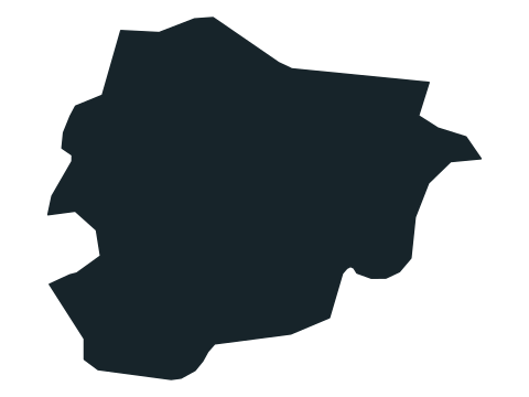
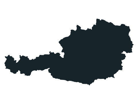
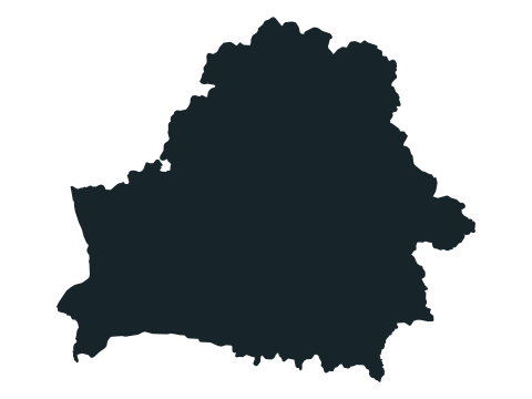
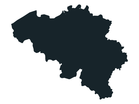
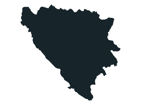
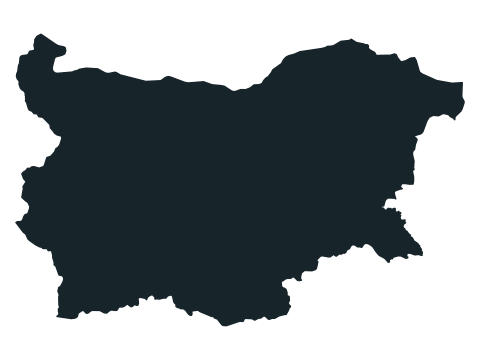
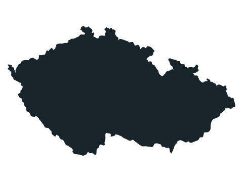
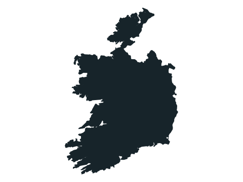
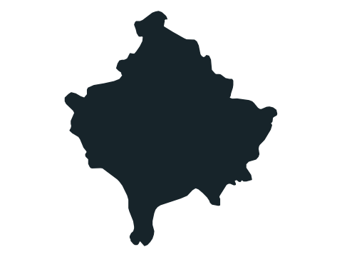
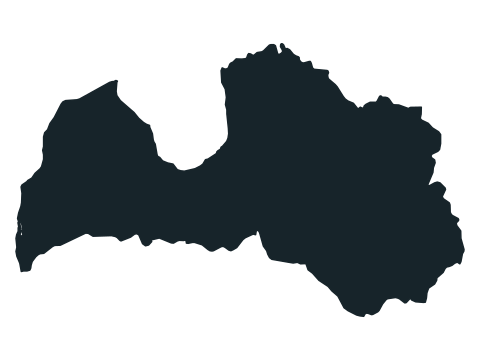
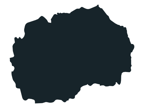
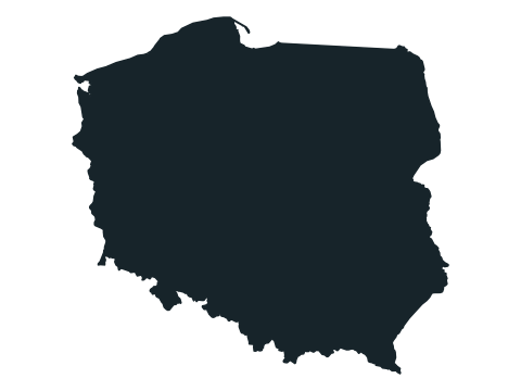
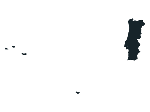
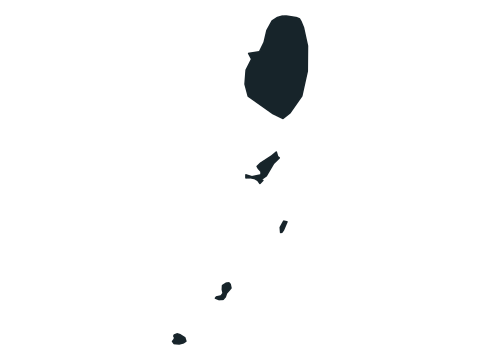
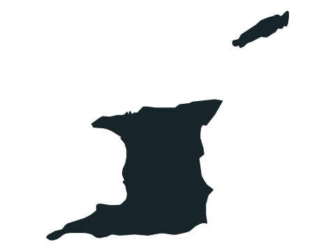
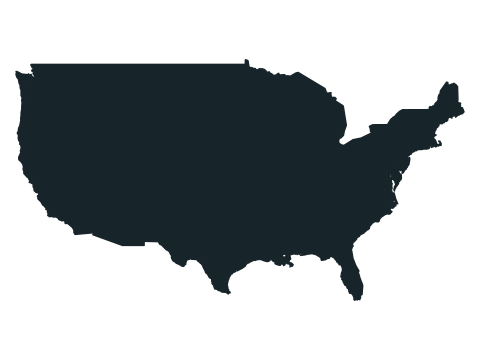
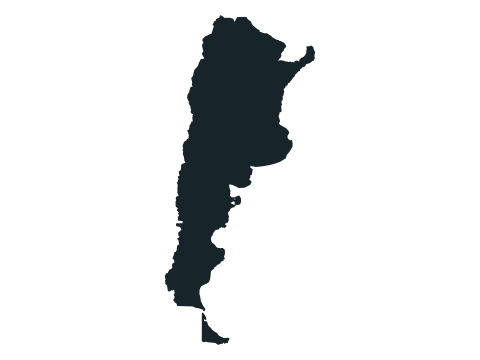
Look at coastlines, peninsulas, and borders. North stays up, but every country is resized to fit the frame. Outlines focus on the main land area and nearby islands; distant territories and tiny islands may be omitted.
All 197 country outlines in the quiz
Show all 197 answers
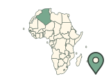
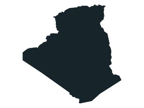
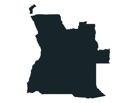
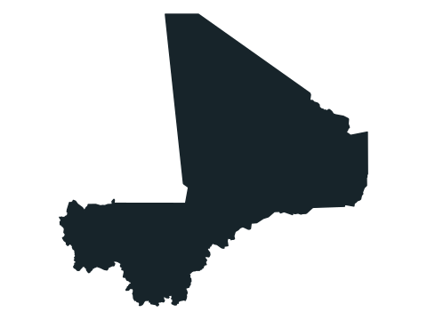
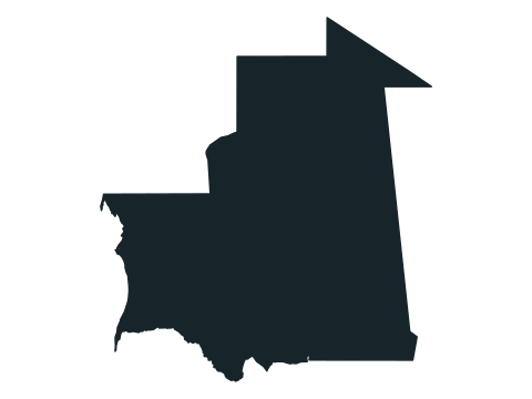
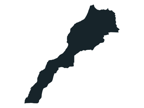
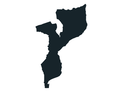
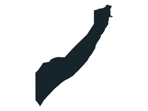
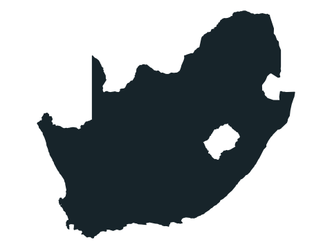
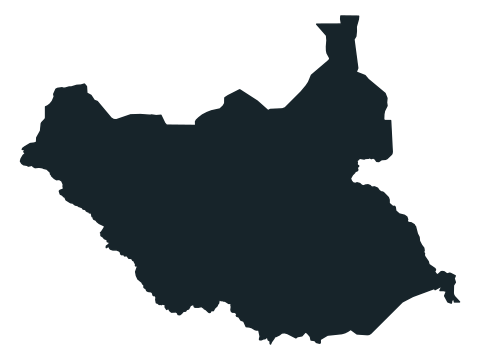
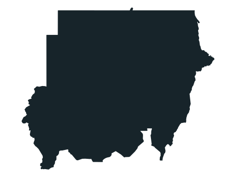
Africa (54)
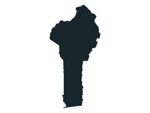
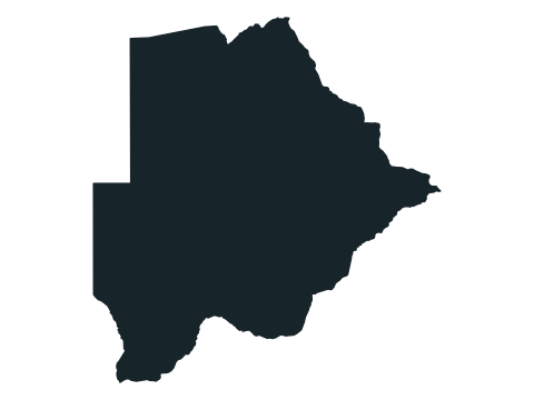
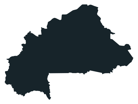
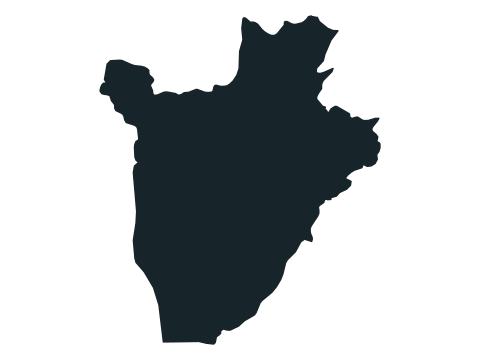
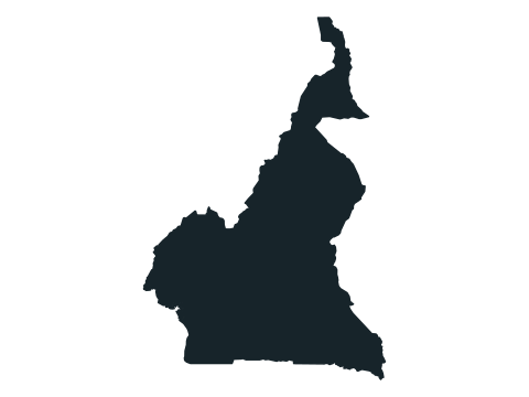
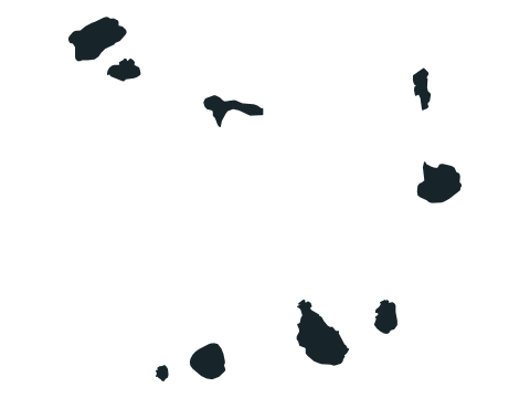
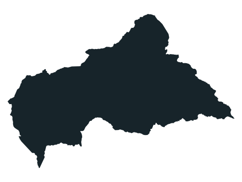
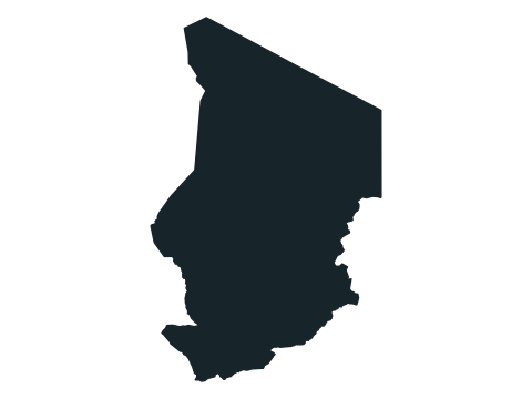
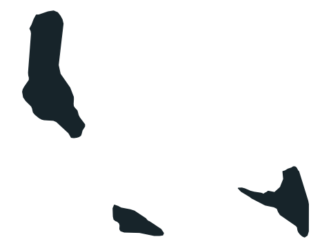
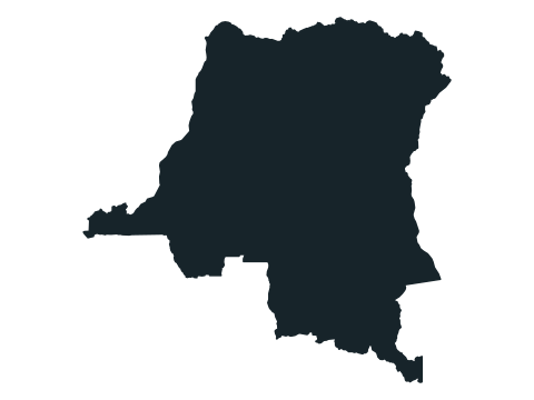
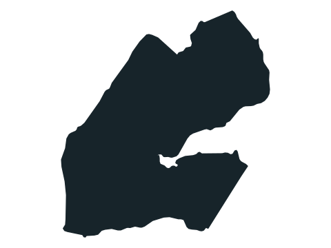
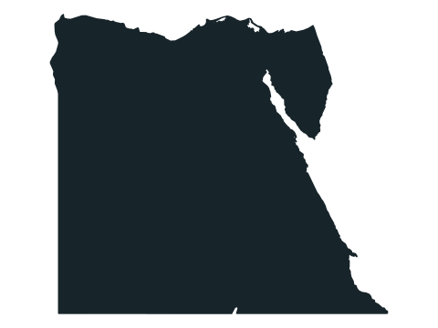
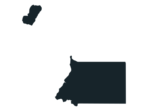
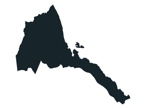
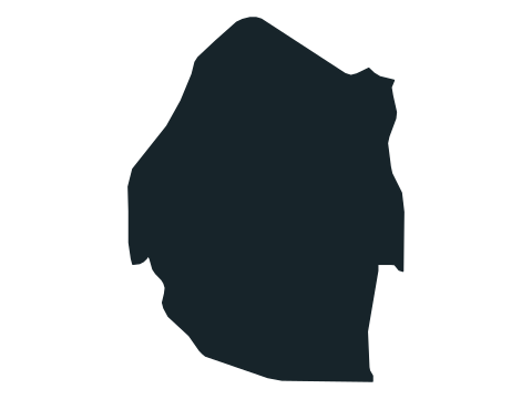
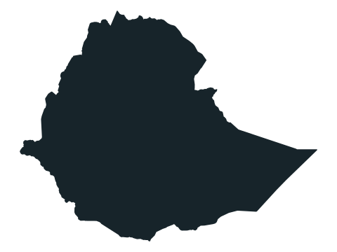
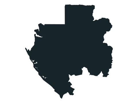
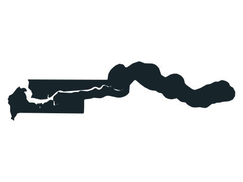
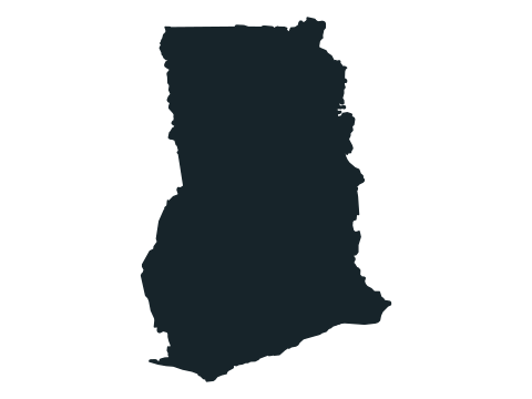
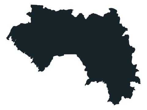
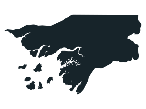
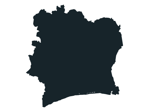
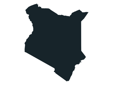
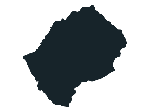
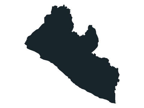
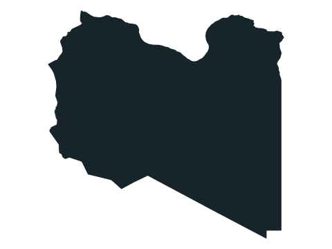
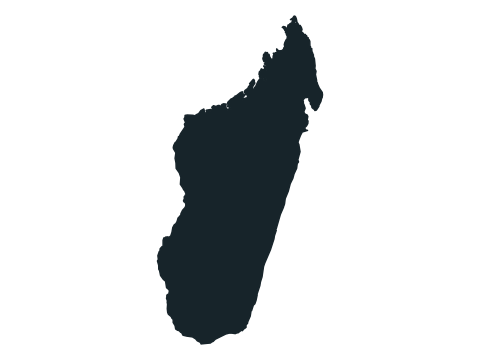
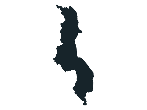

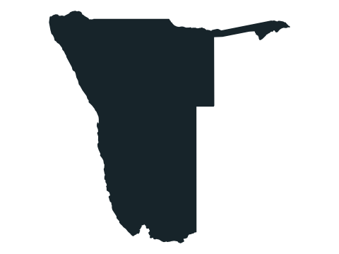
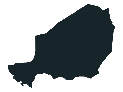
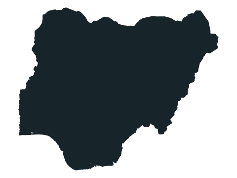
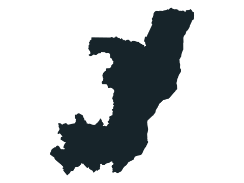
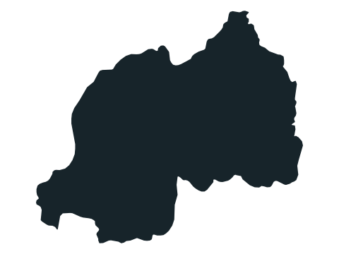
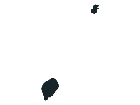
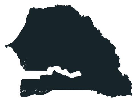

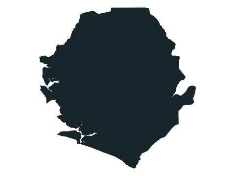
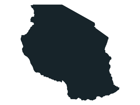
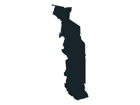
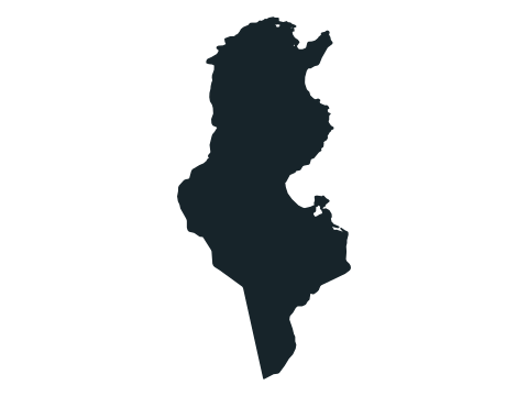
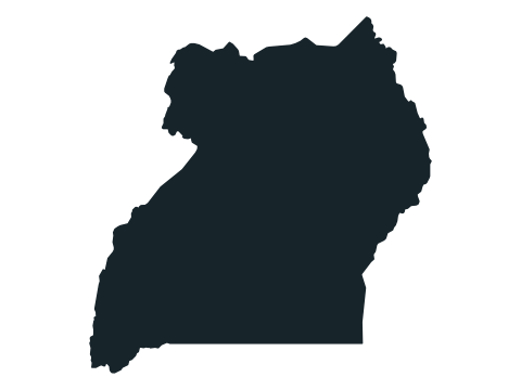
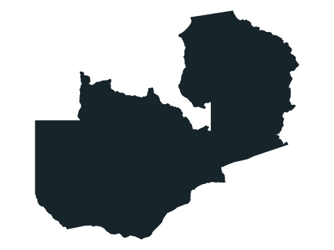
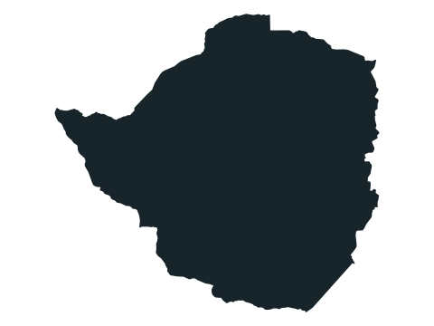
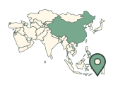
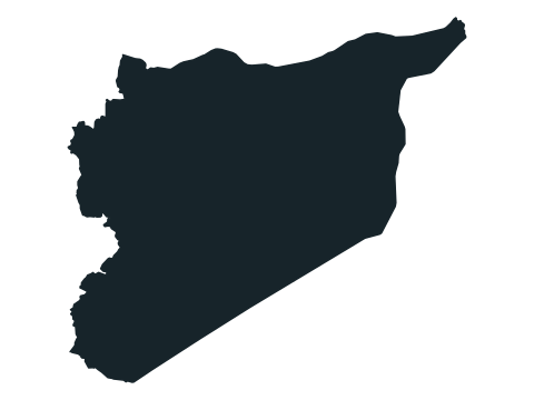
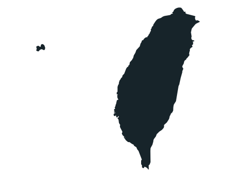
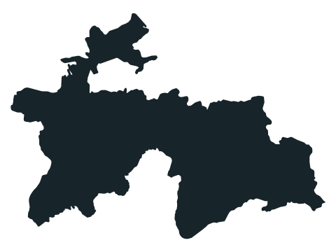
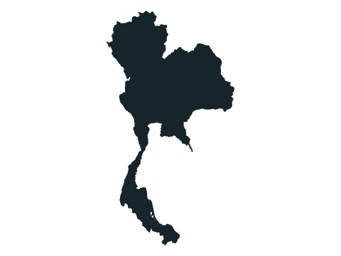
Asia (49)
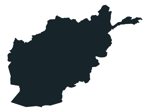
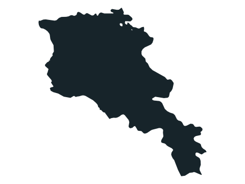
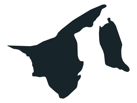
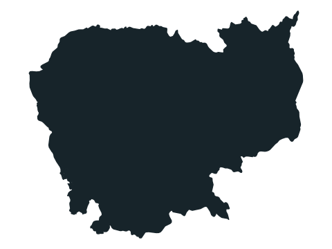
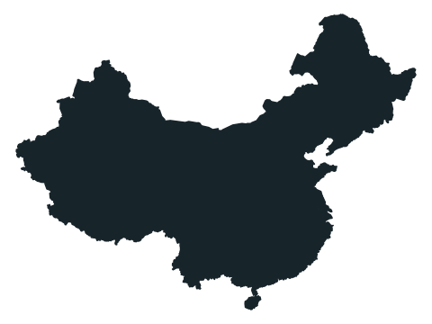
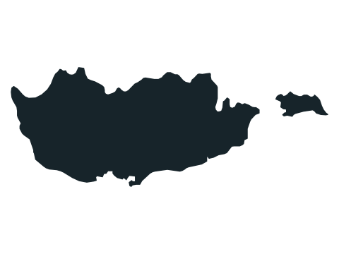
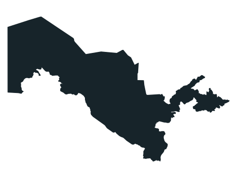
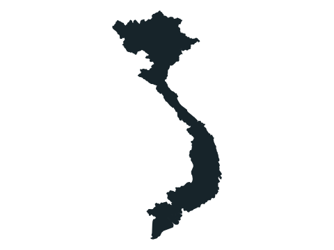
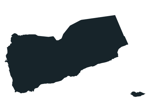
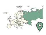
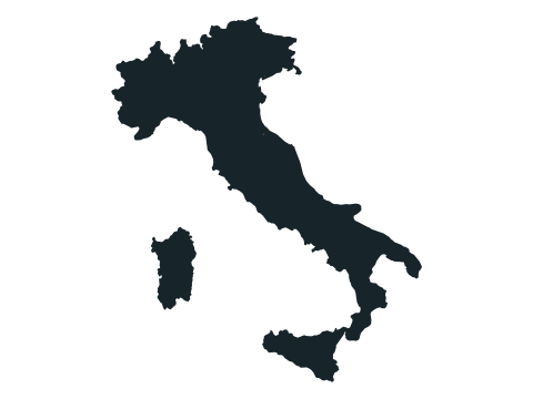
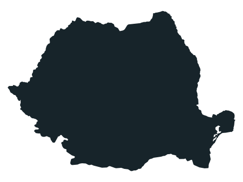
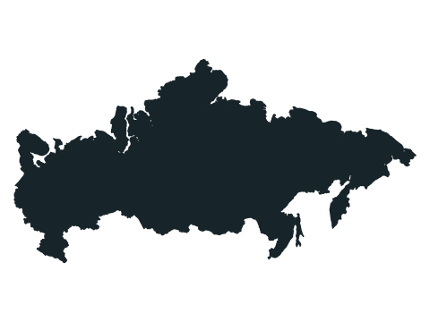
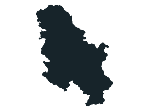
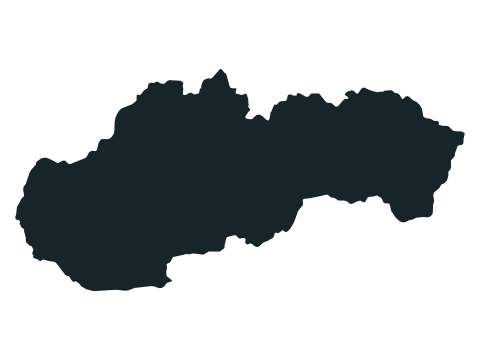
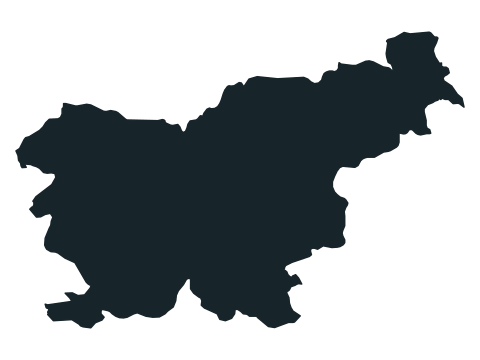
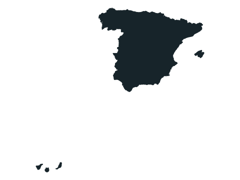
Europe (45)
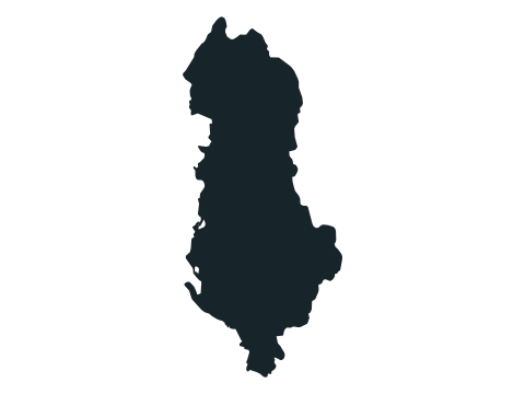
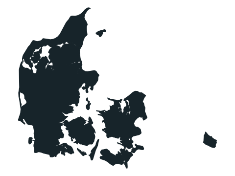
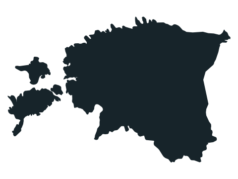
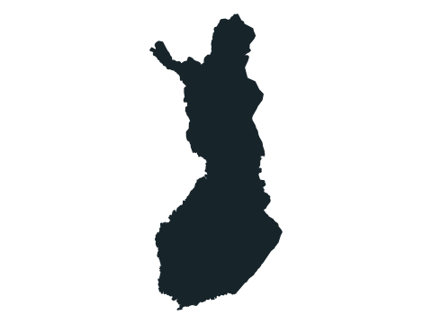
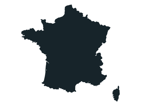
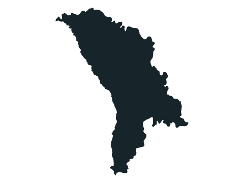
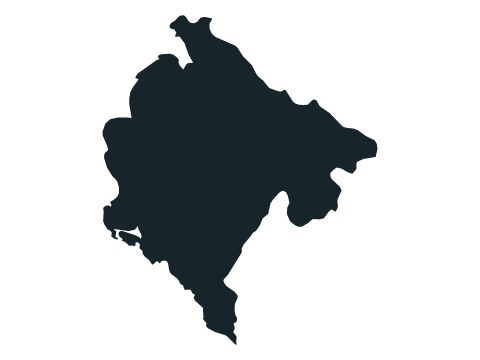
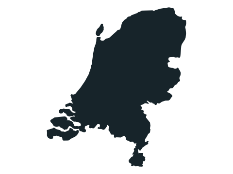
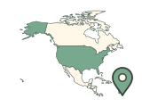
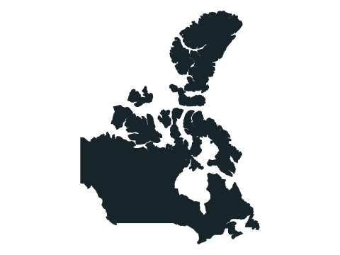
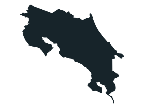
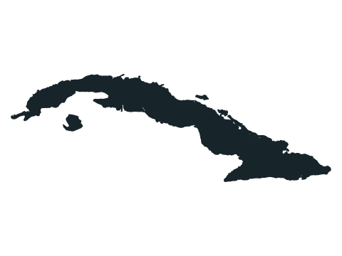
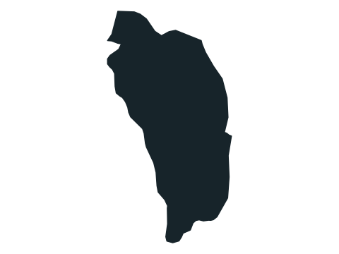
North America (23)
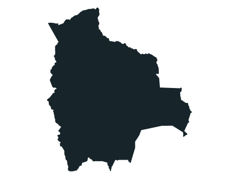
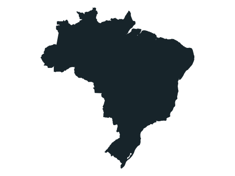
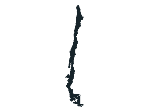
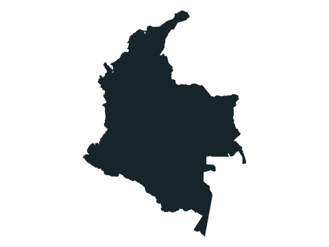
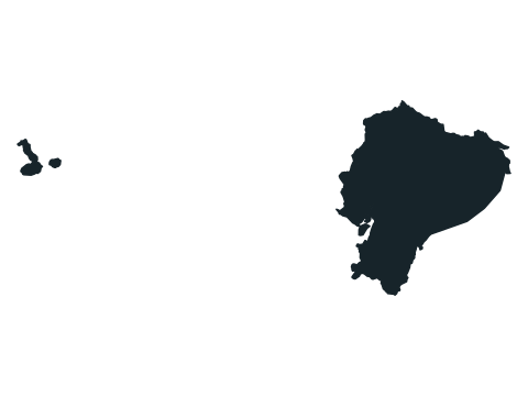
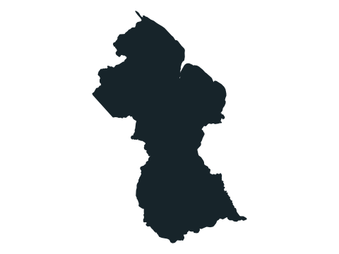
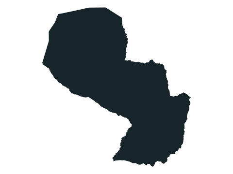
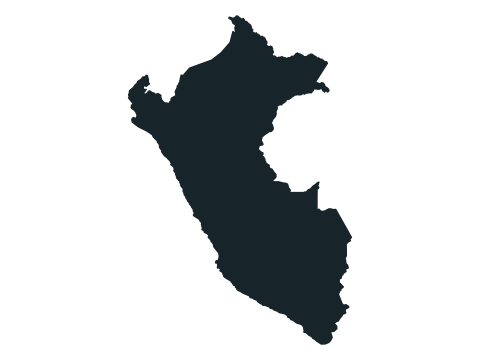
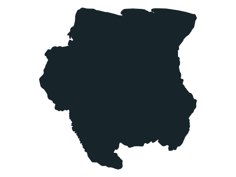
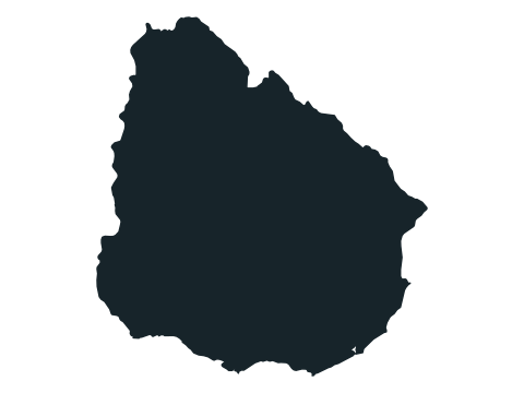
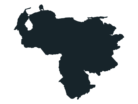
South America (12)
Oceania (14)
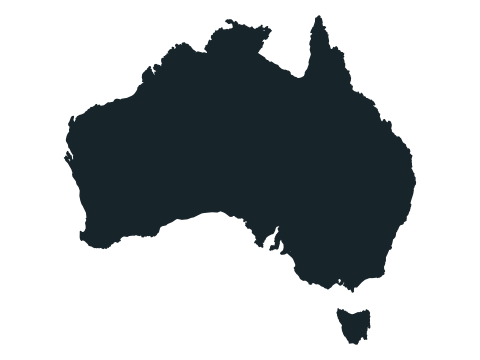
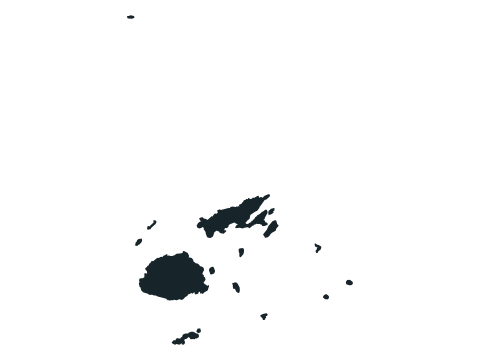


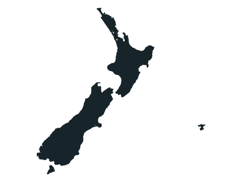
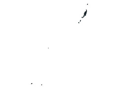
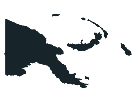
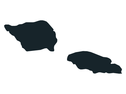
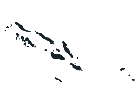


Grouped by continent the way the world map quiz groups them. Common alternative country names are accepted too.
Frequently asked questions
Are the country shapes to scale?
No. Every outline is resized to fill the same frame, so a small country can look as large as a big one. North is always up.
What happens if I get one wrong?
The run ends and the correct country is shown. Your score is the number of outlines you named in a row.
Why are some islands missing?
Outlines focus on a country’s main land area and nearby islands. Distant territories and very small islands may be left out so the shape stays recognisable.
How many countries can come up?
197, the same list as the world map quiz. They are shuffled, and none repeats until you have seen them all.
Where do the outlines come from?
Natural Earth’s public-domain map data, with higher-precision Natural Earth outlines for small islands and microstates.
Ten outlines worth looking at twice
- Chile: follow the long Pacific edge; the narrow outline matters more than its displayed height.
- Vietnam: look for the bend in the coastline and the wider ends of the country.
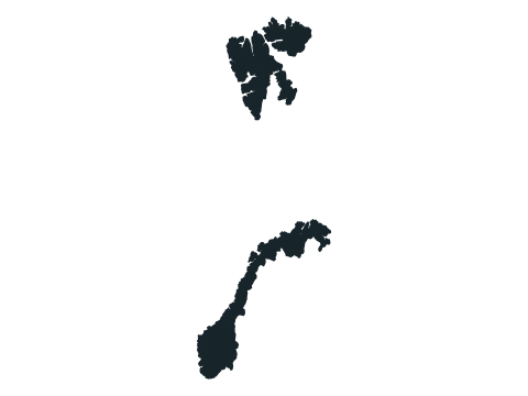
- Norway: notice the deeply indented western coast rather than just the long north–south shape.
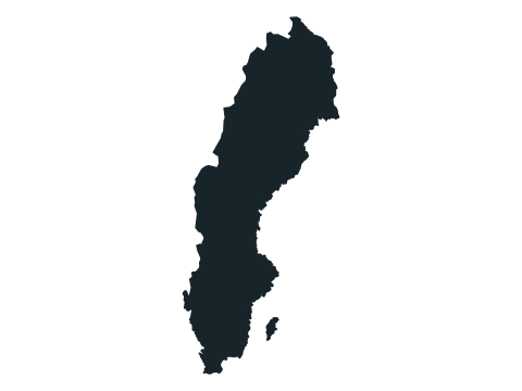
- Sweden: compare its smoother eastern edge with the more broken coastline of Norway.
- Italy: the familiar boot is a useful starting point, but check the nearby islands too.
- Greece: concentrate on the southern peninsulas; small islands may disappear at this scale.
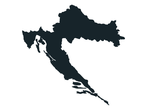
- Croatia: trace the long Adriatic strip and the inland arm that makes the shape bend.
- The Gambia: a thin east–west outline is a better clue than the area it occupies on screen.
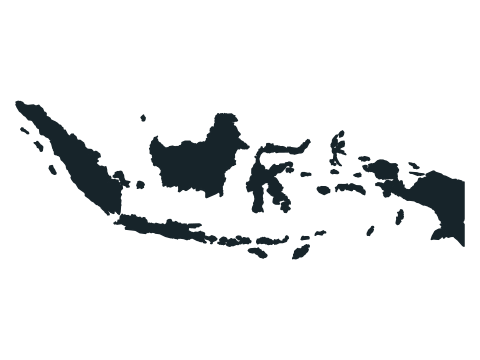
- Indonesia: several separated land masses are expected; do not try to join them into one mainland.
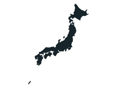
- Japan: follow the chain of islands and its overall curve instead of looking for a single block.
Why size can mislead you
Each outline is fitted independently into the same frame. A small country can therefore look as large as a continental one. North stays up, but the map projection changes the apparent proportions; it is not an equal-area comparison.
Start by deciding whether the shape is mainly a compact mainland, a long coastal strip, a peninsula or an island chain. Then look for one distinctive corner or bay. Distant territories and very small islands may be omitted, so an absent speck is a weak reason to reject an otherwise good match.
Sources
Source: Natural Earth / world-atlas · Natural Earth 4.1.0 via world-atlas 2.0.2
Public domain map geometry, simplified for display. Country outlines also use higher-precision Natural Earth overrides for small islands and microstates. The 197-answer list and continent groups are editorial choices, not a live geopolitical feed. No original collection date is recorded for these bundled map files.
Found an incorrect answer or a source that needs updating? Send a correction with the game name and a reference.