
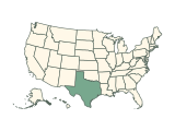







Can you name all 50 states from their outlines?
Each round shows the outline of one US state with no map around it. Type the state’s name or its two-letter abbreviation: a correct answer moves on, and a wrong guess can be tried again. Name all 50 to complete the quiz.
How to play
- A state’s outline fills the board. North is up, but every outline is resized to fit, so sizes are not comparable. Type the state’s name in the box below. Capital letters and punctuation do not matter, and two-letter postal abbreviations such as “TX” are accepted.
- A correct answer is accepted by itself after a short pause and the next state comes up. Press Enter to check any other answer.
- A wrong guess is marked so you can try again, as often as you like. There is no timer.
- Stuck? Press Finish to end the run: the answer is revealed and that outline counts as missed.
- The 50 states come up once each, in shuffled order, and your score counts up to 50. Name them all to complete the quiz; the answer review below the board lists every round.
- Your result is saved in this browser. Once enough people have played a game, the results also show how your score ranks, and you can copy or share an image of your result, or replay.
Tips for playing
Look for one feature you can name: Florida’s peninsula, Michigan’s two peninsulas, Oklahoma’s panhandle, the islands of Hawaii. Near-rectangles need a second look at proportions and corners; Utah, for example, has a notch cut from its top-right corner.
All 50 state outlines in the quiz
Show all 50 answers
Northeast (9)
| Outline | State | Abbreviation | Pieces in the outline |
|---|---|---|---|
 | Connecticut | CT | 1 |
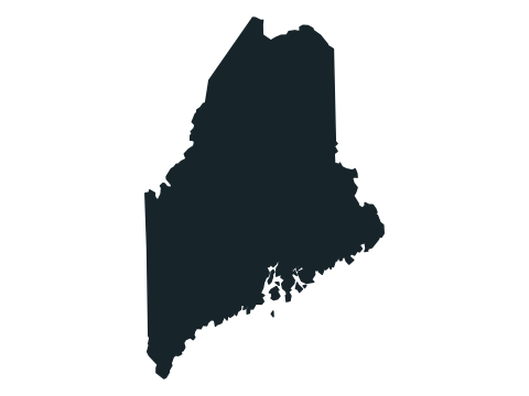 | Maine | ME | 8 |
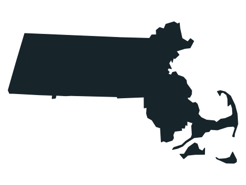 | Massachusetts | MA | 3 |
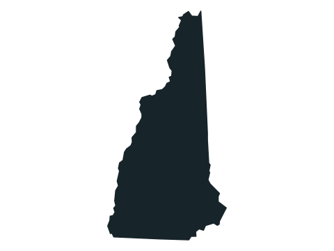 | New Hampshire | NH | 1 |
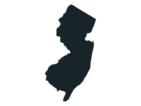 | New Jersey | NJ | 1 |
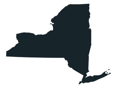 | New York | NY | 7 |
 | Pennsylvania | PA | 1 |
 | Rhode Island | RI | 5 |
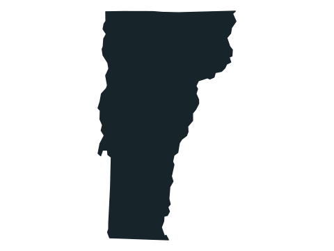 | Vermont | VT | 1 |
Midwest (12)
| Outline | State | Abbreviation | Pieces in the outline |
|---|---|---|---|
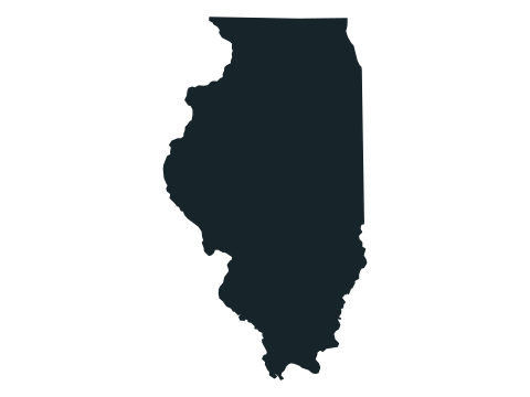 | Illinois | IL | 1 |
 | Indiana | IN | 1 |
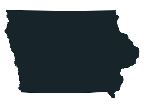 | Iowa | IA | 1 |
 | Kansas | KS | 1 |
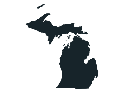 | Michigan | MI | 12 |
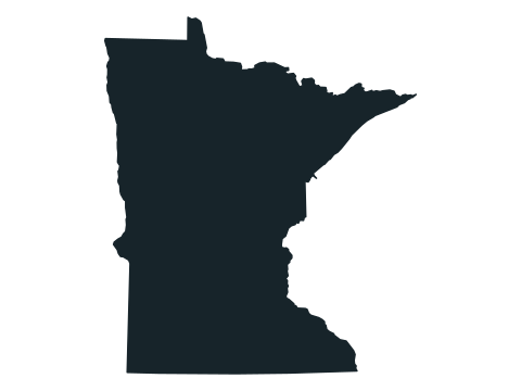 | Minnesota | MN | 1 |
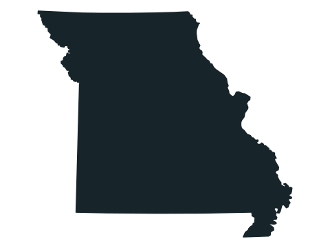 | Missouri | MO | 1 |
 | Nebraska | NE | 1 |
 | North Dakota | ND | 1 |
 | Ohio | OH | 3 |
 | South Dakota | SD | 1 |
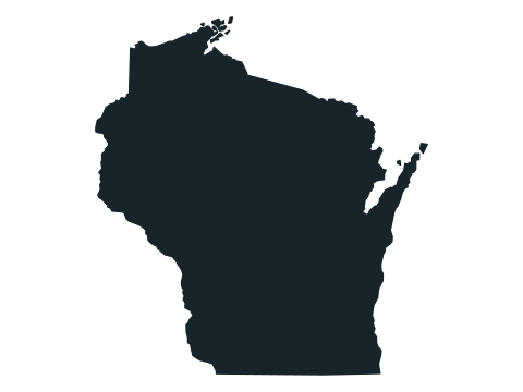 | Wisconsin | WI | 11 |
South (16)
| Outline | State | Abbreviation | Pieces in the outline |
|---|---|---|---|
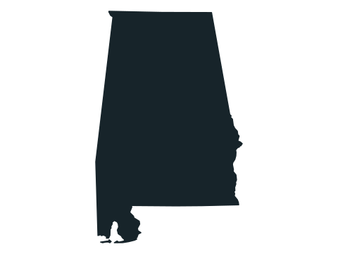 | Alabama | AL | 2 |
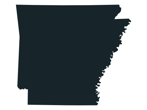 | Arkansas | AR | 1 |
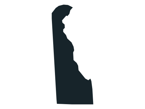 | Delaware | DE | 1 |
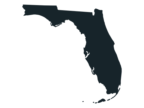 | Florida | FL | 10 |
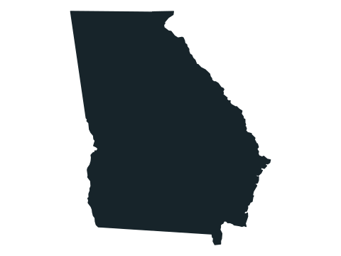 | Georgia | GA | 1 |
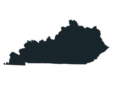 | Kentucky | KY | 2 |
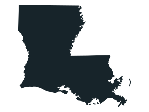 | Louisiana | LA | 8 |
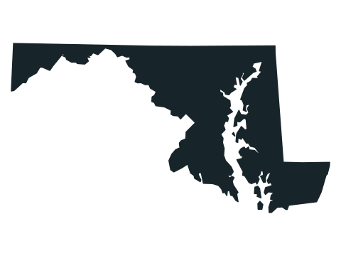 | Maryland | MD | 4 |
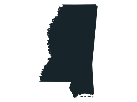 | Mississippi | MS | 5 |
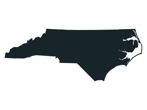 | North Carolina | NC | 3 |
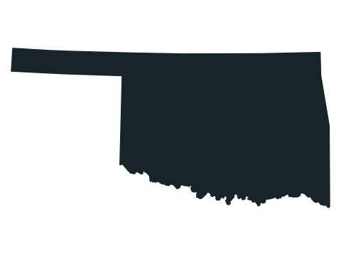 | Oklahoma | OK | 1 |
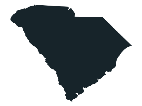 | South Carolina | SC | 1 |
 | Tennessee | TN | 1 |
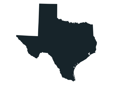 | Texas | TX | 1 |
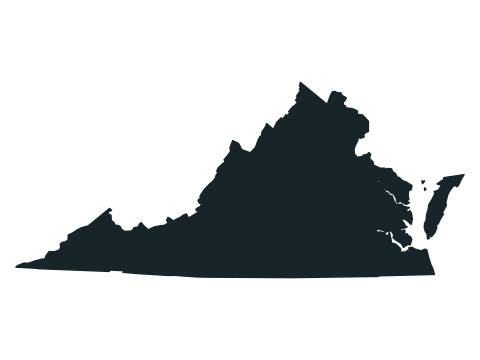 | Virginia | VA | 4 |
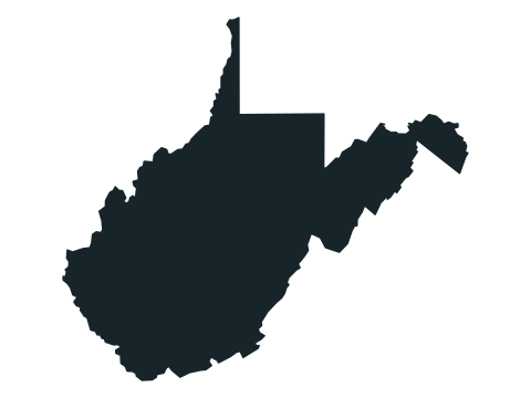 | West Virginia | WV | 1 |
West (13)
| Outline | State | Abbreviation | Pieces in the outline |
|---|---|---|---|
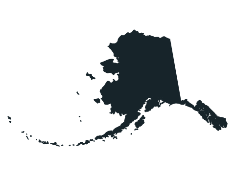 | Alaska | AK | 67 |
 | Arizona | AZ | 1 |
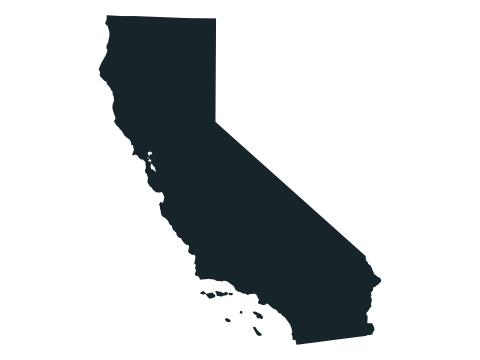 | California | CA | 9 |
 | Colorado | CO | 1 |
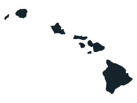 | Hawaii | HI | 8 |
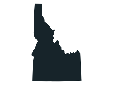 | Idaho | ID | 1 |
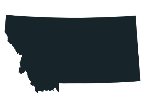 | Montana | MT | 1 |
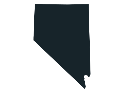 | Nevada | NV | 1 |
 | New Mexico | NM | 1 |
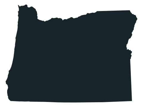 | Oregon | OR | 1 |
 | Utah | UT | 1 |
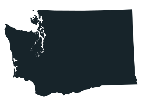 | Washington | WA | 11 |
 | Wyoming | WY | 1 |
Grouped by US Census Bureau region. Pieces counts the separate land areas drawn in the game’s outline; islands too small to see are left out.
Frequently asked questions
Are the state shapes to scale?
No. Every outline is resized to fill the same frame, so Rhode Island looks as large as Texas. North is always up.
Can I type the abbreviation?
Yes. Each state’s two-letter postal abbreviation counts as well as its full name, so “NM” is accepted for New Mexico. Seven of them, “AL”, “AR”, “CO”, “MA”, “MI”, “MO” and “NE”, also begin another state’s name (“NE” begins Nevada): press Enter to check those, so a pause while you type a longer name never counts as an answer.
Why are some small islands missing?
The outlines come from the US Census Bureau’s 2017 cartographic boundary files, simplified for display, and islands too small to see at this size are left out. Alaska still shows the Aleutian chain and Hawaii its eight main islands.
What happens if I guess wrong?
Nothing is lost. The guess is marked and you can try again as often as you like; the run ends when you have named all 50 or press Finish, which reveals the answer.
Which state outline has the most pieces?
Alaska, with 67 separate pieces in the game’s outline, all but one of them islands. Michigan 12, Washington and Wisconsin 11 each, Florida 10 and California 9 follow; 31 of the 50 states are drawn as a single piece.
How can I tell Colorado from Wyoming?
Both are near-rectangles whose borders follow lines of latitude and longitude. In the game’s outlines Colorado is about 1.4 times as wide as it is tall and Wyoming about 1.3 times, so Colorado looks a little longer from east to west.
Read an outline in three passes
- Coast or inland: a ragged edge points to an ocean, the Gulf of Mexico or the Great Lakes.
- Straight edges: long straight borders follow lines of latitude and longitude, common in the West and on the Plains.
- One signature feature: a panhandle, a peninsula, a notch or a chain of islands.
More about the United States
Sources
Source: US Census Bureau / us-atlas · 2017 cartographic boundaries · us-atlas 3.0.1
Public-domain state outlines, each drawn on its own equal-area projection with north up, resized to fit and simplified; islands too small to see are omitted. The 50 states only: Washington, D.C. and the territories are not included.
Found an incorrect answer or a source that needs updating? Send a correction with the game name and a reference.