Eritrea
Flag, capital, map and facts, with World Bank figures ranked against the world and Africa.
- Capital
- Asmara
- Continent
- Africa
More Africa quizzes - Land neighbours
- Djibouti, Ethiopia, Sudan
- Population
- 3,607,003 (2025)
- Total area
- 121,766 km² (2023)
- Centre of main landmass
- 15.4° N, 38.8° E
Eritrea at a glance
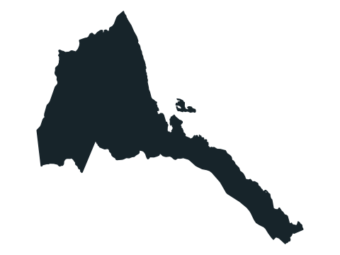
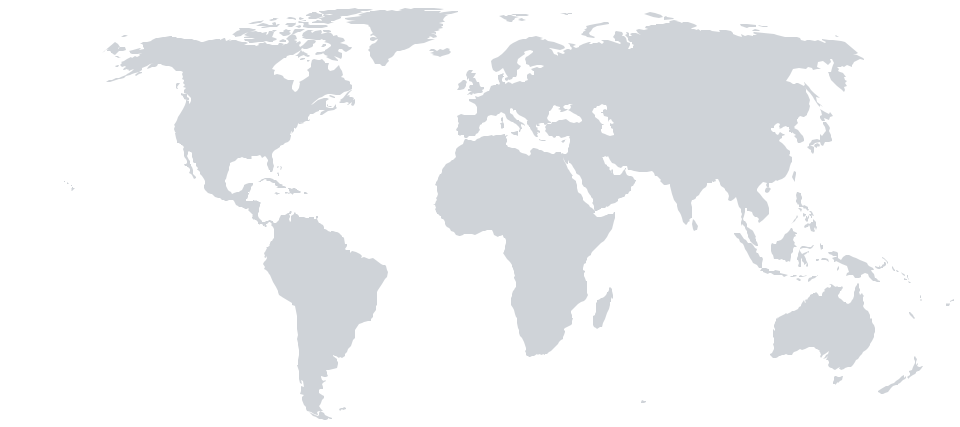
Eritrea is a country in Africa. Its capital is Asmara. It shares land borders with 3 countries: Djibouti, Ethiopia and Sudan.
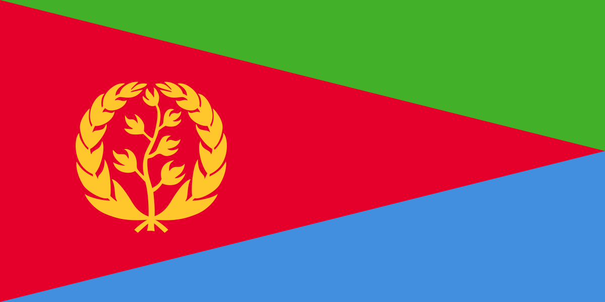
Flag of Eritrea
Eritrea’s flag is drawn in the proportions 1:2 (height to width), like 51 other flags in our quizzes.
Eritrea in numbers
| Measure | Value | World rank | Rank in Africa |
|---|---|---|---|
| Populationpeople · 2025 | 3,607,003 | 130thof 195 | 40thof 54 |
| Total areakm² · 2023 | 121,766 km² | 97thof 194 | 36thof 54 |
| Life expectancyyears at birth · 2024 | 68.9 years | 139thof 195 | 11thof 54 |
| Fertility ratebirths per woman · 2024 | 3.68 | 36thof 195 | 33rdof 54 |
| Health spendingUS dollars per person · 2023 | $28 | 183rdof 191 | 47thof 54 |
| Urban population% of people · 2025 | 34.5% | 164thof 195 | 40thof 54 |
| Forest cover% of land area · 2023 | 8.6% | 157thof 191 | 42ndof 54 |
| CO₂ per persontonnes per person · 2024 | 0.22 t | 166thof 181 | 38thof 53 |
No figure is published for Eritrea on GDP, GDP per capita and internet users.
Each measure links to its higher-or-lower game. How these figures are compiled.
Eritrea compared with its neighbours
Quizzes featuring Eritrea
Map quizzes
Flag, outline and capital quizzes
- Flags of the World
- Country Shapes
- World Capitals
- Guess the Flag
- Guess the Capital
- Flags of Africa
- Capitals of Africa
- Africa Country Shapes
New every day: Daily Country Shape and Daily Higher or Lower. All daily puzzles
Sources
- World Bank Open Data: Eritrea · Indicators as listed in the table, each with its own data year; collected 2026-10-01.
- Flag: Wikimedia Commons · Public domain
Capitals, borders, outlines and the methods behind every profile: about the data. Found an error or a figure that needs updating? Send a correction with the country and a reference.